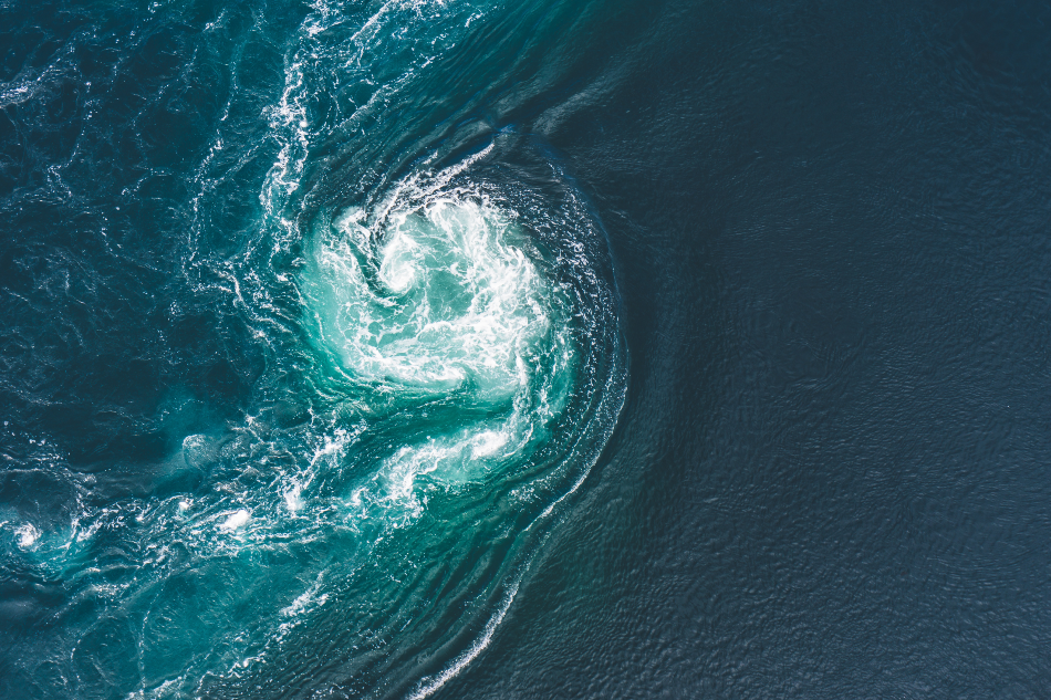
Ocean Current. Credit: Letowa / Shutterstock.com via AzoCleanTech
Tides and Currents Are Different
Tides are enormous waves that move through the ocean in response to the forces exerted by the Moon and the Sun. Tides start in the sea and move towards the coast, where they appear as the regular rise and fall of the sea surface.
Currents involve water moving back and forth. Ocean currents are patterns of movement in the sea caused by wind, the shape of the ocean floor, and differences in water temperature.
How NOAA Tracks Water Levels
NOAA’s National Ocean Service is responsible for recording Tide and Current data. The prediction of tides and currents is essential in navigation to help ship captains, mariners, and recreational boaters stay safe. Accurate tide and current data help ships get into and out of ports, predict the extent of oil spills, and measure erosion. Rising or falling tide levels can cause some people or property to be stranded, and a current can sweep others away. For example, a fast-moving current stream can push fishing vessels into rocks, and a slow current can leave someone adrift in the open ocean. To predict tides and currents, scientists use the following: tide gauges at known locations to measure changes in water level, buoys and moored instruments anchored to the seafloor, coastal monitoring stations, ocean gliders, satellite altimeters which provide numerical models of the oceans that produce information about sea-level variations and changes over time. To ensure these measurements reflect real-world conditions, scientists often collect data from tidal stations operated by professional observatories.
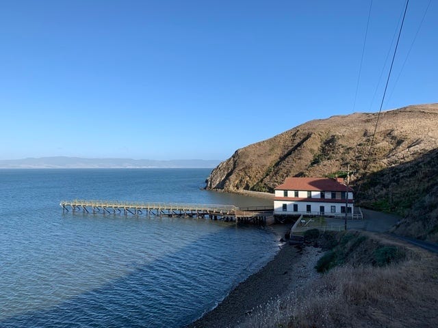
Point Reyes, CA — NOAA Station ID: 9415020. Credit: NOAA
Today, the NOS uses an automated acoustic and pressure system to detect changes in water level. The National Water Level Observation Network operates an entire system of continuous observations from a network of water-level monitoring stations. They transmit that data every six minutes via satellite and make it available online.
Technology for Current Measurements
Currents drive the speed and direction of water flow. Technological advancements, such as buoys with global positioning systems or satellite communication systems, have made it possible to measure currents accurately.
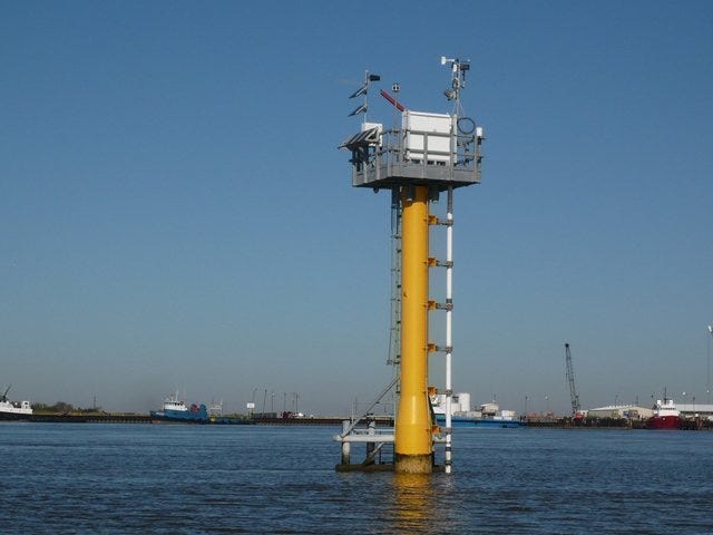
Calcasieu Pass, LA — NOAA Station ID: 8768094. Credit: NOAA
Various systems and agencies help predict and monitor oceanographic conditions:
- The Physical Oceanographic Real-Time System, PORTS®, is like an airport control tower for ships providing sailors with critical weather and oceanographic information to prevent accidents at sea. Mariners can access data in real-time, such as water levels, current speeds, and directions, wind speeds, air temperatures, and water temperatures. This service is free and available online or via phone.
- In the Center for Operational Oceanographic Products and Services (COOPS), the National Oceanic and Atmospheric Administration keeps track of long-term water levels. Their database provides local news stations or newspapers with information about flooding risks in their area.
- The Integrated Ocean Observing System, or IOOS, helps the U.S. Coast Guard and other scientists respond to oil spills, harmful algal blooms, and other water quality issues. Its high-frequency radar supports search and rescue missions.
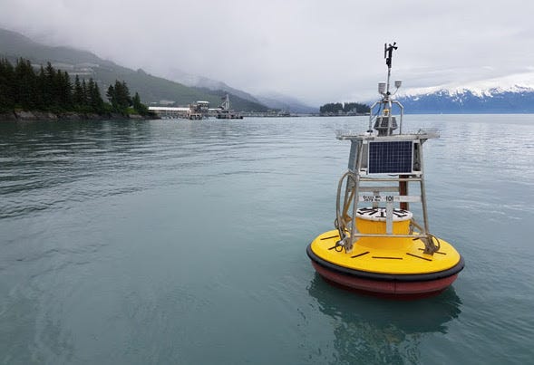
A PORT buoy, Port Valdez, AK. Credit: NOAA
Sources and Further Reading
- NOAA National Ocean Service
- NOAA CO-OPS
- NOAA PORTS
- Integrated Ocean Observing System
